22 Niatos – Askifou
The Niatos plateau in the regional unit of Chania is an isolated region accessible by car or on foot. With the White Mountains on one side and the forest of Asfendou on the other, this is a stunning part of the E4 trail to explore. The path is often poorly marked so a lot of care should be taken. If you are driving from Chania, the distance is just over 60 km. and will take you through the village of Askifou and up towards the mountains.
Going from the village to the plateau has the added difficulty of the steep incline but the beautiful landscape views are worth the hard work. Thyme and oak trees complete the scenery and of course, plenty of goats can be seen grazing. The plateau of Niatos is found at an altitude of 1200 m. The path continues to the peak of the White Mountains (Lefka Ori) towards the peak of Kastro (2,218 m).
From Askifou you can also move south towards Imbros gorge and find yourself in the village of Komitades. Alternatively, there is the “Askifou – Impros – Kallikratis” route towards the east and the abandoned settlement of Asfendou and Kallikratis plateau.
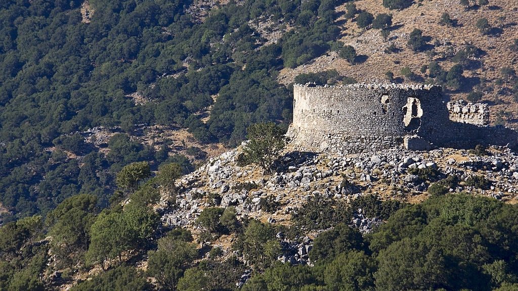
In the village of Askifou, it is worth stopping by the War Museum of Georgios Hatzidakis, a personal collection of World War II weapons, and other personal items.
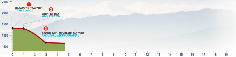
The E4 route from Niatos to Askifou
From the plateau of Niatos, the path leading to Askifou begins at the north-eastern corner of the mountain shelter (1). We pass through a small slope and immediately descend to a low flat area, where a rectangular shepherd’s hut is situated among oaks.
From the stone hut, following a north-easterly direction, we reach the chapel of Agio Pnevma (2). A path which meanders down between the thick trees of the steep slope begins from the chapel. Here, the view towards the plateau of Askifou, especially in the evening hours, is magnificent. At some point, the distinct path crosses a dirt road. Here we continue to descend the slope and will soon see the first houses of the settlement of Ammoudari (3).
| Path Length | 3 km |
|---|---|
| Hiking Duration | 1.5 hour |
| When to hike | Spring, Autumn, Summer |
| Path Region |