55-56 Nida – Rouvas

This part of the E4 trail in Crete starts at the plateau of Nida and follows a path through the forest of Rouvas and small gorges. Nida is the ancient name of the Psiloritis mountain range, highest in Crete and a sacred ground that was closely linked to the worship of Zeus. Here you will also find the cave of “Idaion Andron” on the west side of the plateau where legend has it the Greek Olympian god was born. This quite a long route, that will take you through the beautiful valleys, slopes, small churches and gorges of the area.
The E4 route from Nida to Rouvas
From the water spring of Analipsi, we descend to the main dirt road (1), which goes along the western side of the plateau of Nida and heads southwards, towards Poros tis Milias. We follow it for approximately 1.600 m, covering a big part of the plateau, until we come to a side road (2) with an easterly direction, on our left side, which leads us to the valley of Varsamos. We continue for about 2,2 km until we get deep into the valley and reach a point where the unsurfaced road branches off (3).
The left branch, after 250 m, leads us to a low peak; a mitato, (traditional mountain shelter) can also be found there. If we go southwards, straight up the slope from the point where the dirt road branches off, we will come across a lone tree and a small rock. Then after 200 m along the foot of the cut of the rock, we shall reach the water spring of Varsamos. From the point where the road branches off, we continue eastwards for approximately 2 km, until we reach the end of the dirt road, at a flat area named Ammoudara (4), at an altitude of 1.450 m. At the beginning of this flat area, on the right-hand -east- rock wall, a huge cave can be seen. We continue walking gently uphill towards the east until we reach a saddle.
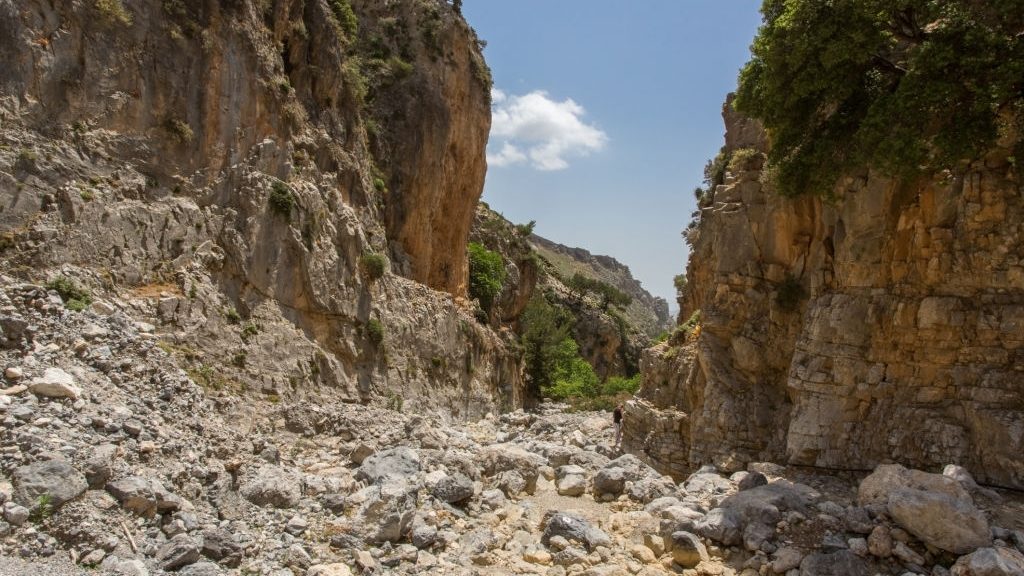
We then begin to descend, following the bed of a dry watercourse through a small gorge, among tall vegetation. After approximately 900 m, we see a big cave-like hollow, high up on our right side, at the foot of a rocky slope (5). By now, the forest of Rouvas opens up ahead of us.
From this point on, the E4 signs on the tree trunks and the red marks on the rocks lead us south, following the contour of 1.150 m for about 900 m.
Getting out of the area of tall vegetation is quite tricky because it makes our orientation difficult. Make sure to follow the signs closely.
Having passed by the top of a small ridge, we see a cement cistern (6) ahead of us, at an altitude of about 1.150 m; 150 m after the cistern, a dirt road leads us to the area of Dio Prini (= two oaks), where a brick building can be seen. A little further down, in a small flat area, we come to the chapel of Michail Archangelos (7). From this spot, we have a panoramic view of the whole Rouvas basin, which is bordered by a range of high peaks: Samari (1.413 m) and Ambelakia (1.441 m) to the south, between which is the gorge of Agios Nikolaos; Gyristi (1.779 m) and Koudouni (1.860 m) to the east; Skinakas (1.752 m) to the north.
From the flat area with the chapel, we follow the south-eastern clayey ridge, on a hardly discernible footpath, and start to descend for 1.500 m, towards the watercourse (8). A few metres more to the east, the confluence of the main stream of Rouvas and of a smaller stream with water from the spring of Agios Ioannis can be seen. During the summer months, the water from the springs tends to dry out. We follow the watercourse, and in a few minutes, we reach the area of Agios Ioannis (9), where a designated rest area with a few plane trees can be seen next to the watercourse. Close by are the chapel of Agios Ioannis and a stone building next to it.
| Path Length | 11.5 km |
|---|---|
| Hiking Duration | 3 hour |
| When to hike | Spring, Autumn, Summer |
| Path Region | Heraklion |